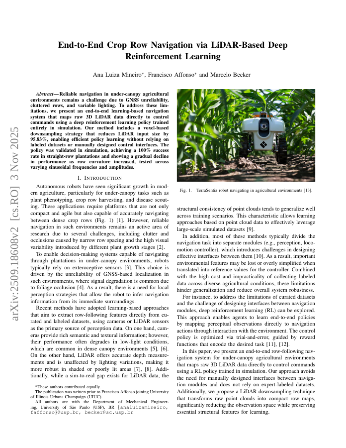
Reliable navigation in under-canopy agricultural environments remains a challenge due to GNSS unreliability, cluttered rows, and variable lighting. To address these limitations, we present an end-to-end learning-based navigation system that maps raw 3D LiDAR data directly to control commands using a deep reinforcement learning policy trained entirely in simulation. Our method includes a voxel-based downsampling strategy that reduces LiDAR input size by 95.83%, enabling efficient policy learning without relying on labeled datasets or manually designed control interfaces. The policy was validated in simulation, achieving a 100% success rate in straight-row plantations and showing a gradual decline in performance as row curvature increased, tested across varying sinusoidal frequencies and amplitudes.
End-to-End Crop Row Navigation via LiDAR-Based Deep Reinforcement Learning
Reliable navigation in under-canopy agricultural environments remains a challenge due to GNSS unreliability, cluttered rows, and variable lighting. To address these limitations, we present an end-to-end learning-based navigation system that maps raw 3D LiDAR data directly to…
- Preview
- Year
- 2025
- Hosting
- Abstract onlyARXIV-DEFAULT
Cite
Notes
Only stored in your browser.
Attribution
- Abstract & full text
- arxiv.org/abs/2509.18608ARXIV-DEFAULT
- TL;DR
- Semantic Scholar