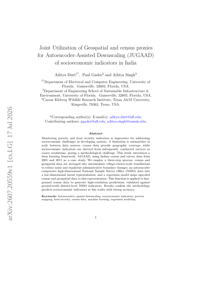
Monitoring poverty and food security indicators is imperative for addressing socioeconomic challenges in developing nations. A limitation is mismatches in scale between data sources: census data provide geographic coverage, while socioeconomic indicators are derived from infrequently conducted surveys at coarse resolutions, posing a methodological challenge. This study introduces a deep learning framework, JuGAAD, using Indian census and survey data from 2001 and 2011 as a case study. We employ a three-step process: census and geospatial data are averaged into intermediate village-cluster-scale tessellations to reduce noise and regularize administrative boundary changes; an autoencoder compresses high-dimensional National Sample Survey Office (NSSO) data into a low-dimensional latent representation; and a regression model maps upscaled census and geospatial data to this representation. This function is applied to fine-grained census data to generate high-resolution predictions, validated against ground-truth district-level NSSO indicators. Results confirm the methodology predicts socioeconomic indicators at fine scales with strong accuracy.
Joint Utilization of Geospatial and census proxies for Autoencoder-Assisted Downscaling (JUGAAD) of socioeconomic indicators in India
Monitoring poverty and food security indicators is imperative for addressing socioeconomic challenges in developing nations. A limitation is mismatches in scale between data sources: census data provide geographic coverage, while socioeconomic indicators are derived from…
- Preview
- Year
- 2026
- Hosting
- Abstract onlyARXIV-DEFAULT
Cite
Notes
Only stored in your browser.
Attribution
- Abstract & full text
- arxiv.org/abs/2607.20559ARXIV-DEFAULT
- TL;DR
- Semantic Scholar